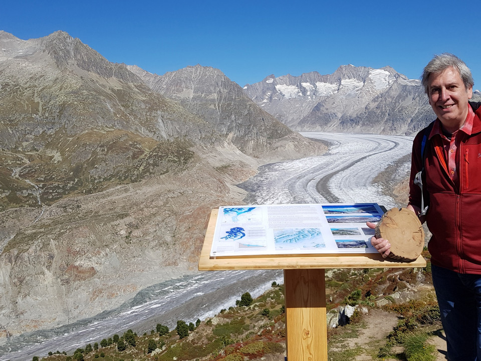
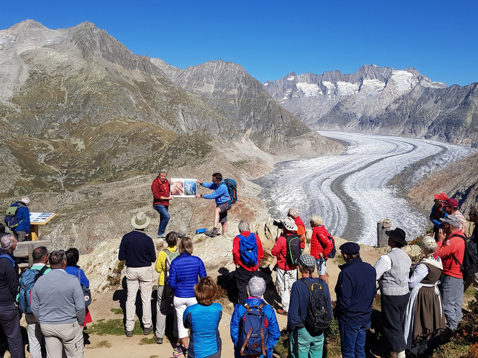
Martin Nellen has been a mountain guide for 40 years. He has wanted to tell the story of the Great Aletsch Glacier for a long time, and this has now come about in the form of a themed trail, with the help of Dr. Hanspeter Holzhauser, a geographer and glacier researcher. Dr. Hanspeter Holzhauser created the concept and is the author of the texts, photos and graphics. The four information boards are born out of his many years of research.
From Riederalp Mitte, head eastwards to the Gletscherbahn Moosfluh valley station. The cable car takes you to the starting point of the hike at the Moosfluh View Point. From there follow the road east via Biel down to the Chatzulecher lakes. Four information boards along the path present fascinating facts about the Great Aletsch Glacier: they tell you about the changes in the Great Aletsch Glacier since the last ice age (Würm glaciation) and show how the history of the ice giant can be reconstructed.
- The first information board (Moosfluh, 2,333m above sea level) shows the extent of the Great Aletsch Glacier during the last ice age.
- The second information board (Biel, 2,280m above sea level) documents the end of the ice age: it depicts the moraine wall as it looked 11,700 years ago.
- The third information board is located near the Young Drift Moraine (2,130m above sea level). It shows the glacier in about 1860.
- The fourth information board is 70 altitude metres above the glacier (2,000m above sea level) and explains how it is possible to reconstruct the history of the Great Aletsch Glacier.


