

- 0:30 h
- 706 m
- 30 m
- 30 m
- 2,304 m
- 2,333 m
- 29 m
- Start: Moosfluh, station amont du combination lift
- Destination: Moosfluh, station amont du combination lift
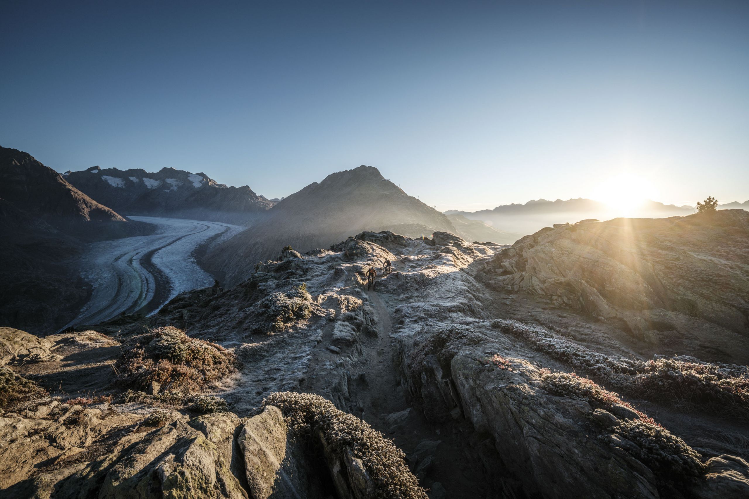
The Moosfluh combi-lift from Riederalp takes you to the ridge, where you hike in a westerly direction to access the entrance of the themed trail. The circular trail highlights the impact of global warming and glacier melting on the Aletsch Glacier. Children can engage with the themes through playful interactions with the glacier flea mascot, "Gletschi."
The first station, "Welcome," presents the trail map and provides an introduction to the theme.
The second station, "Aletsch Marks," impressively showcases the glacier's traces and how far it once extended. Visitors can view this through specifically positioned observation scopes.
The third station, "Climate Change," demonstrates the lack of support for the mountain and the resulting cracks in the landscape. Children can experience this through an interactive seesaw game.
The fourth station, "Melting Glacier," symbolically represents the changes of the Great Aletsch Glacier through a rotating game.
The fifth station, "Moving Rock," illustrates the effects on the Moosfluh and explains the formation of rock crevices. Children can free Gletschi from a sliding labyrinth of rock crevices.
The sixth station, "Moosfluh Combi Lift," explains the impact of the moving mountain on the construction of a cable car. Children can test their memory skills with a memory game.
The seventh station, "Mountain Monitoring," visualizes the monitoring of the mountain. Changes in the rock crevices are indicated by a measuring tape that moves along with them. Children can test their observation skills with a visual search activity.
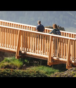
The themed trail is not pram-friendly and not barrier-free.


Good to know
Best to visit
Tour information
Cultural Interesting
Familiy-Friendly
Loop Road
Equipment
- good footwear
- clothing suitable for the weather: always carry a waterproof jacket
- hat or cap
- sunscreen
- bottle for water
- picnic
- camera
- binoculars (optional)
- hiking poles (optional)
- printout of this hike (click «Print» icon, to download)
Directions & Parking facilities
- Limited parking spaces (charges apply) at Mörel-Filet station. Further parking options are signposted.
- Large pay multi-storey car parks at the entrance to Mörel-Filet and in the village centre.
Additional information
Furkastrasse 39
CH-3983 Mörel-Filet
+41 27 928 58 58
info@aletscharena.ch
www.aletscharena.ch
Literature
Author´s Tip / Recommendation of the author
Safety guidelines
Use of the trails and the information on this website is at hikers’ own risk. Local conditions may entail changes to routes. Aletsch Arena AG accepts no liability for the accuracy and completeness of information on this website.
- Bring a map. Download full description of this route including large-scale map by clicking on «Print» icon, top right of this page.
- Use marked trails only, and observe all signposting – for your own safety, to safeguard grazing animals and to avoid disturbing wildlife.
- Close gates after passing through.
- Please be considerate to other trail users, and to the plants and animals.
- Do not leave any waste in nature.
Map
Nearby


