


- 4:30 h
- 14.02 km
- 424 m
- 424 m
- 674 m
- 967 m
- 293 m
- Start: church, Mörel-Filet
- Destination: church, Mörel-Filet
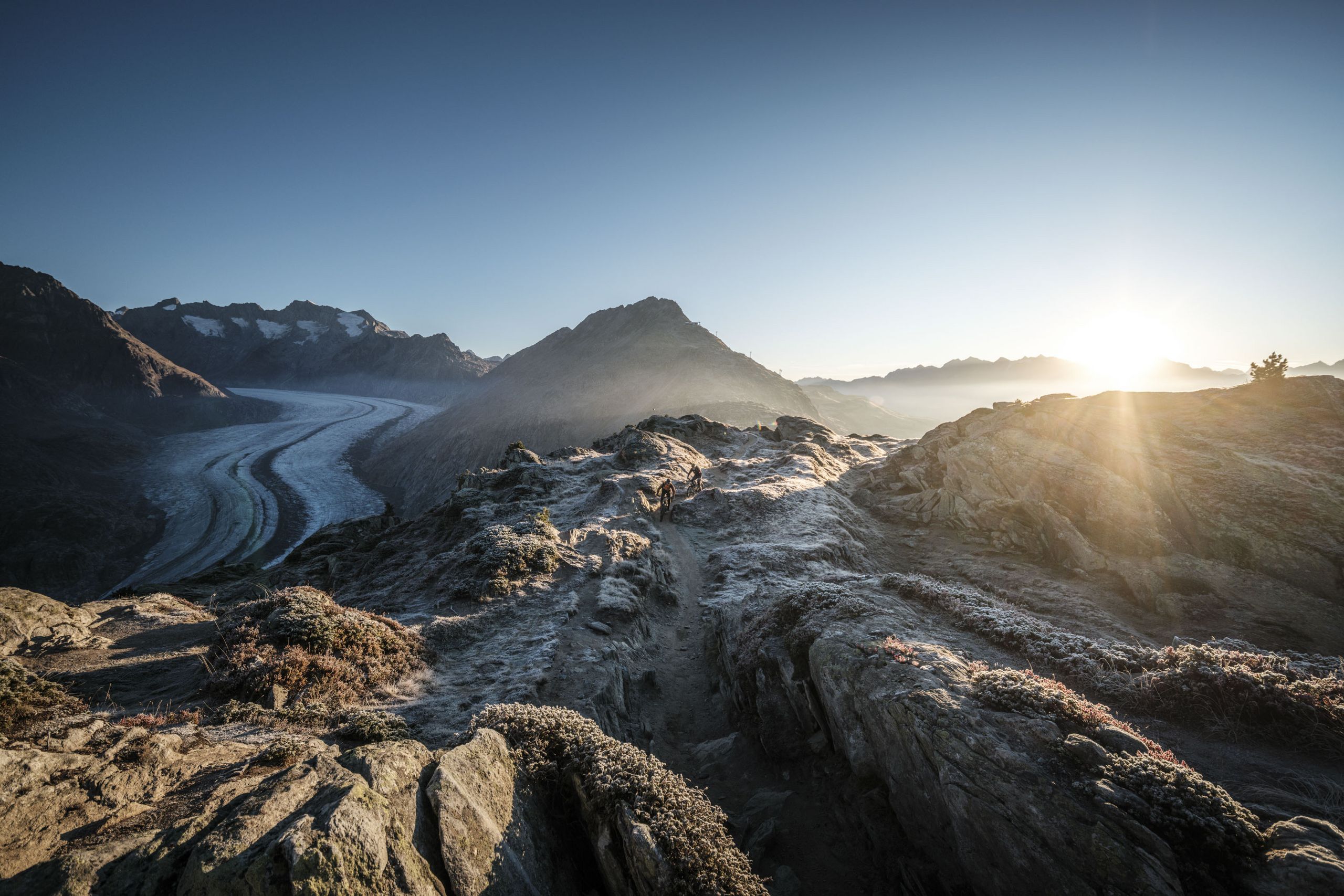
The starting point of the tour is at the church in Mörel-Filet. Set off along Dorfstrasse until you reach the upper end of the village. From there, take the path that branches left to the Salzgäb chestnut grove and themed trail, then continue heading west until you reach Bitsch. Pass the district of Ebnet, the church and the schoolhouse on your way to the Massa suspension bridge. Enjoy the impressive view of the Massa Gorge from the bridge! Once you reach the other side, follow the path the leads gently down via Massegga (where there’s an amazing view!) into Naters village centre. Take the “Rote Meile” eastwards back to Bitsch. From there, head up the small path opposite the Raiffeisen bank and continue along the old water channel to Ze hohe Flühe, where you cross the main road and the young Rhone. Now head across the Sand floodplain in the direction of Mörel-Filet. After the power station, cross the young Rhone again and return to the starting point of the hike.


Good to know
Best to visit
Directions
Tour information
Familiy-Friendly
Loop Road
Stop at an Inn
Equipment
We recommend:
- good footwear
- clothing suitable for the weather: always carry a waterproof jacket
- hat or cap
- sunscreen
- bottle for water
- picnic
- camera
- binoculars (optional)
- hiking poles (optional)
- printout of this hike (click «Print» icon, to download)
Directions & Parking facilities
- Limited parking spaces (charges apply) at Mörel-Filet station. Further parking options are signposted.
- Large pay multi-storey car parks at the entrance to Mörel-Filet and in the village centre.
Additional information
Aletsch Arena AG
Furkastrasse 39
CH-3983 Mörel-Filet
+41 27 928 58 58
info@aletscharena.ch
www.aletscharena.ch
Literature
Author´s Tip / Recommendation of the author
Safety guidelines
Use of the trails and the information on this website is at hikers’ own risk. Local conditions may entail changes to routes. Aletsch Arena AG accepts no liability for the accuracy and completeness of information on this website.
- Bring a map. Download full description of this route including large-scale map by clicking on «Print» icon, top right of this page.
- Use marked trails only, and observe all signposting – for your own safety, to safeguard grazing animals and to avoid disturbing wildlife.
- Close gates after passing through.
- Please be considerate to other trail users, and to the plants and animals.
- Do not leave any waste in nature.
Map
Nearby


