


- 6:30 h
- 20.58 km
- 750 m
- 750 m
- 1,924 m
- 2,489 m
- 565 m
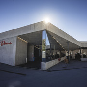
- Start: Bettmeralp, top station of aerial cable car
- Destination: Bettmeralp, top station of aerial cable car
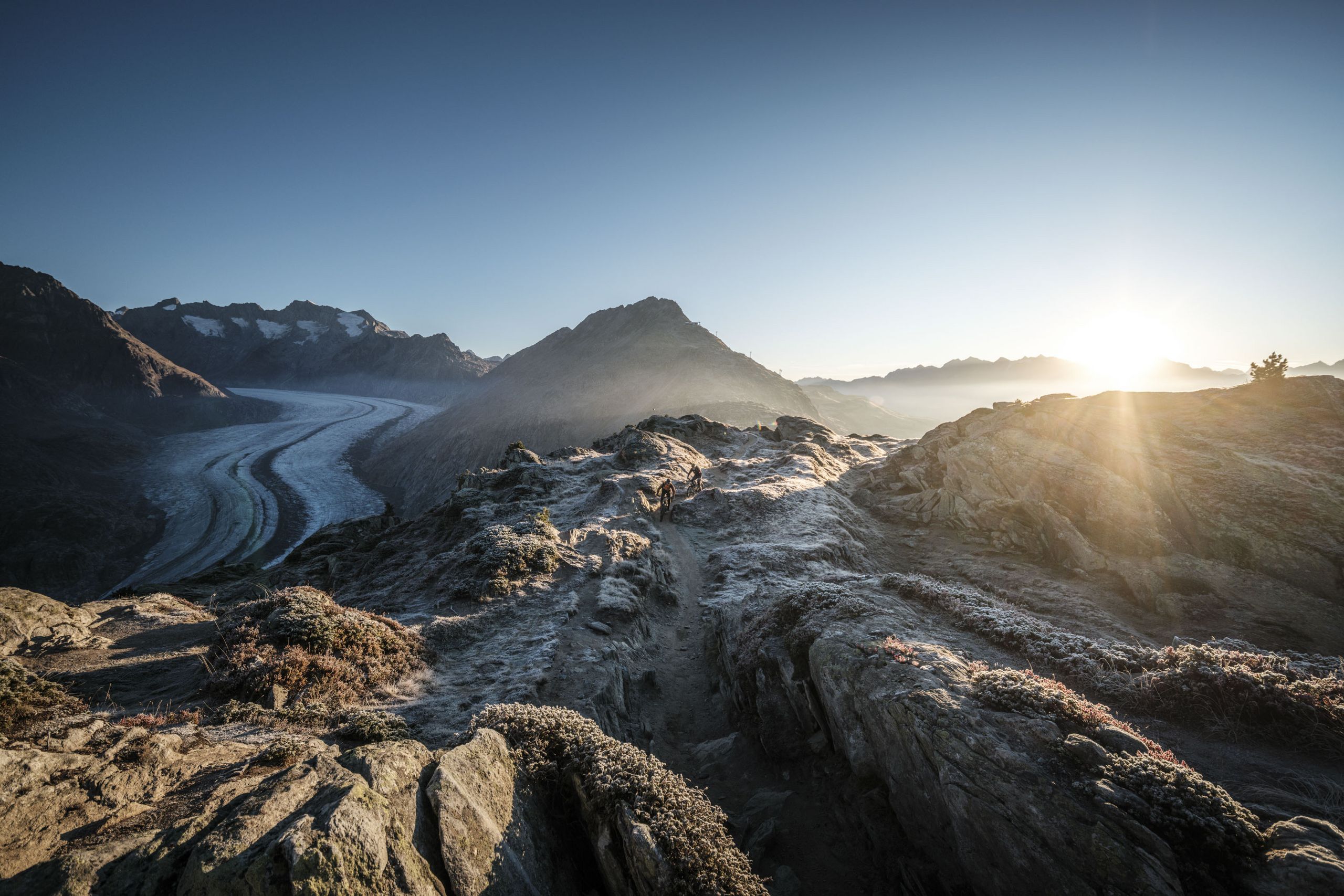
Leaving the mountain station of Bettmeralp cable car, you head up to Lake Bettmersee. Now follow the path along the western shore of the lake and then on uphill to Lake Blausee. From there, the route takes you up to Biel and Hohbalm, where you cross over to the other side of the ridge. On the following section of the trail to the “Roti Chumma”, views of the Great Aletsch Glacier accompany you all the way. You may also see Valais Blacknose sheep, which spend the summer grazing on the sparse alpine meadows. Once you arrive at the “Roti Chumma”, the monumental glacier is right before you. However you keep on towards Märjela and Lake Märjelensee. Passing the Gletscherstube, the route takes you back in the direction of the sunny plateau. Go through the illuminated Tälligrat-Tunnel (Upper Tälli) and on up to Fiescheralp. From here you can either let the cable car whisk you down to Fiesch, or continue on the Herrenweg trail to Bettmeralp, the starting point of the tour.


Good to know
Best to visit
Directions
Tour information
Stop at an Inn
Equipment
We recommend:
- good footwear
- clothing suitable for the weather: always carry a waterproof jacket
- hat or cap
- sunscreen
- bottle for water
- picnic
- camera
- binoculars (optional)
- hiking poles (optional)
- printout of this hike (click «Print» icon, to download)
Directions & Parking facilities
Additional information
Aletsch Arena AG
Furkastrasse 39
CH-3983 Mörel-Filet
+41 27 928 58 58
info@aletscharena.ch
www.aletscharena.ch
Literature
Author´s Tip / Recommendation of the author
Safety guidelines
Summer sports report
Use of the trails and the information on this website is at hikers’ own risk. Local conditions may entail changes to routes. Aletsch Arena AG accepts no liability for the accuracy and completeness of information on this website.
- Bring a map. Download full description of this route including large-scale map by clicking on «Print» icon, top right of this page.
- Use marked trails only, and observe all signposting – for your own safety, to safeguard grazing animals and to avoid disturbing wildlife.
- Close gates after passing through.
- Please be considerate to other trail users, and to the plants and animals.
- Do not leave any waste in nature.
Map
Nearby


